
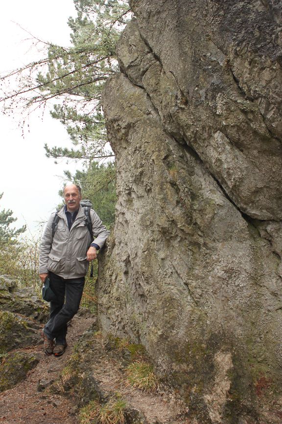
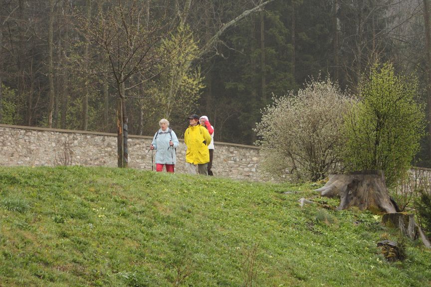
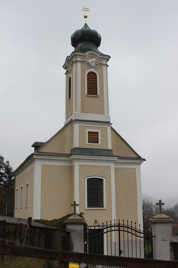
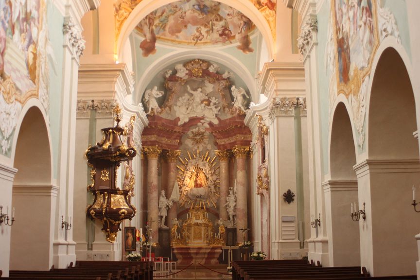
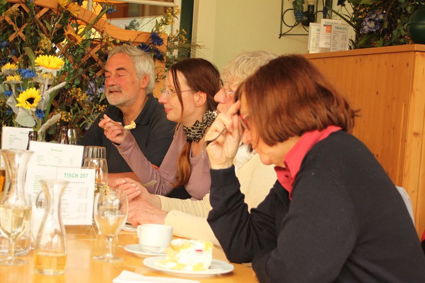
 Ausflug von Hafnerberg und nach Klein Mariazell. Selbst das trübe Wetter konnte die gute Laune nicht verderben.

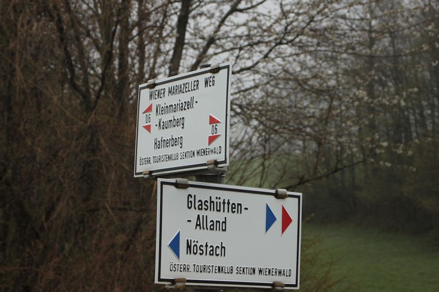






Map of the route “Hafnerberg – Klein Mariazell”: 13,76 km, 1.315 m of climbing and 1.338 m of descent, elevation between 433 m and 628 m, time 03:43:44. It is a loop that starts and ends at 48.01818, 16.01386 (latitude, longitude).
Gesamtstrecke: 13.79 km
Maximale Höhe: 628 m
Minimale Höhe: 431 m
Gesamtanstieg: 1315 m
Gemütlich Mittel Anstrengend
Einkehrmöglichkeit:
Gasthof zu Linde 